Gokyo Lake Trek Route Overview: What to Expect
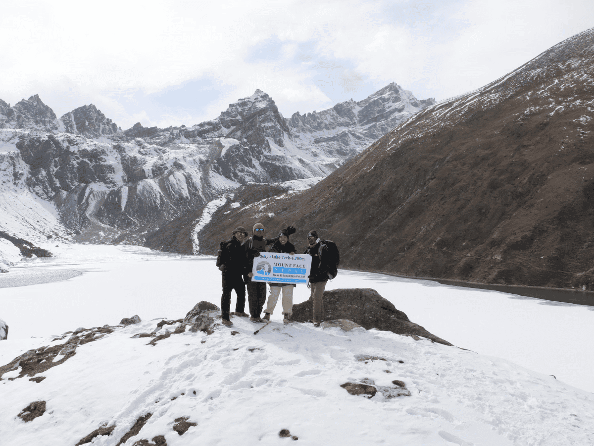
Gokyo Lake Trek is a high‑altitude rewarding journey in Nepal which passes through the dramatic landscapes of Sagarmatha National Park while tracing the Dudh Koshi and Ngozumpa Glacier valleys towards the pristine and turquoise Lake of Gokyo. The Gokyo valley trekking route offers quieter and scenic alternative to the Everest Base Camp trail, while taking travelers through Sherpa villages, mani walls, lush rhododendron and pine forests, stone-paved trails, and yak pastures. Travelers also enjoy unforgettable striking views of Cho Oyu, Everest, Nuptse, and Makalu. Trekkers navigate moraine ridges, and acclimatize steadily at traditional teahouses, making this trek ideal for those seeking spectacular glacial scenery, alpine lakes, and rich Sherpa culture.
Gokyo Lake Trekking Route: Quick Facts
| Details | Gokyo Lake Trek |
| Region | Everest (Khumbu), Nepal |
| Duration | 12-15 Days |
| Distance | About 112km round trip and Acclimatization hike |
| Highest Point | Gokyo Ri at 5,357m |
| Trek Difficulty | Moderate to challenging |
| Starting Point | Lukla, after flying from Kathmandu |
| Trail Style | Teahouse trek with gradual ascent, side valley walking, and mountain viewpoints |
Gokyo Lake Trek Itinerary: Day-by-Day Route Guide
Day 1: Flight from Kathmandu to Lukla and Trek to Phakding(30-35 min flight,8KM, 3-4 H,2610m)
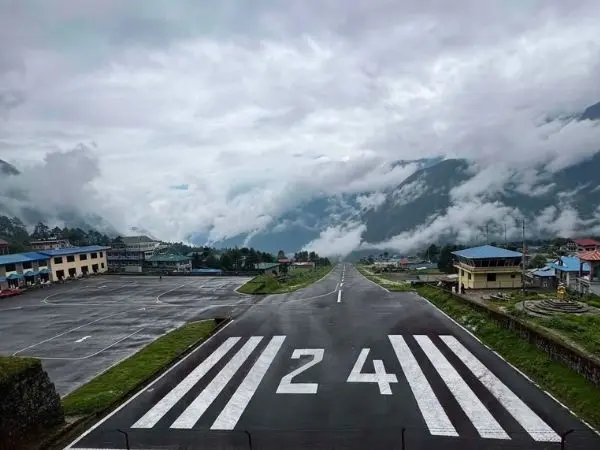
First Day of Gokyo Lake Trek journey begins with a short but very scenic mountain flight from Kathmandu to Lukla, covering roughly 130–140 km in about 30–35 minutes as we fly from the Kathmandu Valley (around 1,400 m) up to Lukla at about 2,860 m. During the flight trekkers can observe terraced hillsides, deep green valleys, and, on clear days, first sweeping glimpse of the snowcapped Himalayas including Mount Everest. From Lukla, we will trek towards Phakding, usually taking 3–4 hours, with a gradual descent as we leave Lukla’s altitude and settle into the lower Dudh Koshi Valley, Phakding. This section of Gokyo lake Trekking route is mostly well-marked and comfortable, passing through Chheplung, Ghat, and Benker villages. It’s an easy first day, designed to warm up the legs and help with acclimatization before reaching Phakding.
Note: Flights usually depart early morning and are highly weather dependent, so delays or last‑minute changes are common.
Complete Trail Conditions:
After leaving Lukla (2,860 m) behind, the Everest region trekking trail begins officially and we will pass through the Lukla checkpoint, where we buy natonal park and Pasang Lhamu Rural Municipality Fee. From here, the route descends on a well-laid stone staircase through rhododendron and pine forests, with views of traditional Sherpa settlements and mani walls. The trail continues to the small village of Cheplung, then gradually descends to cross a suspension bridge over the Dudh Koshi River before following the river valley toward Thado Koshi. Just before Thado Koshi, there is a short uphill climb, after which the trail reaches this popular lunch stop.
And then trekking route continues through the villages of Ghat and Mane, alternating between gentle ascents, gradual descents, and mostly flat riverside paths, making comfortable walk. The final section includes a short uphill climb on stone steps before descending slightly into Phakding (2,610 m), a picturesque village beside the Dudh Koshi River and the standard first overnight stop for trekkers heading toward Namche Bazaar.
Are you looking to explore Gokyo Valley ? Book your adventure with Mount Face Nepal.For more details please check out here Gokyo Lake Trek - 12 Days , cost and Itinerary.
Why You should book Gokyo valley Trek with us.
- Profestional Services with 15 years experience team
- Best Prices guranteed
- Flexible & Quality Service
- Happy & Well-Cared-For-Team: We have insured team and well paid too
- Saftey & Responsible
Day 2: Phakding to Namche Bazaar(10KM,6-7H,3440m)
Second day of Gokyo valley trekking route starts from Phakding and ends at Namche Bazaar. This is the hardest and most rewarding stretch so far with stunning first glimse of Mount Everest. it cover about 10–12 km in 6–7 hours with a steady climb of roughly gaining 800–900 m altitude. Everest Gokyo trek route trail follows the Dudh Koshi River valley through Benkar, Monjo, Jorsalle, while crossing several suspension bridges, including the famous Hillary Bridge, before entering Sagarmatha National Park. Lunch is usually taken aat Jorsalle, with a short tea break before we take the final climb to Namche Bazaar.
Actual Trail Conditions:
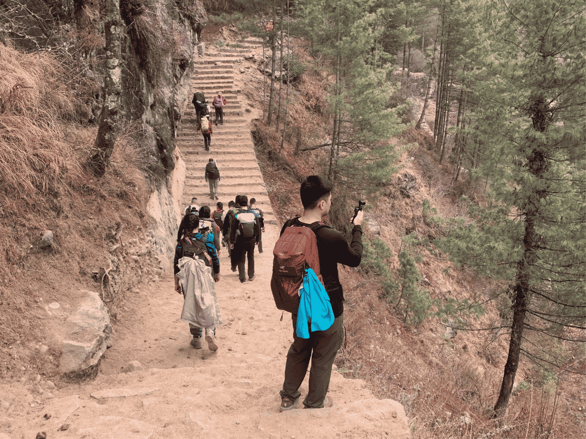
Section A: Phakding to Benkar: From Phakding, we begin our trek by crossing a suspension bridge at end of the Phakding Village. The trail then continues with a relatively gentle walk which features a mixture of gradual ascents and descents. Along the way, trekkers also can witness several beautiful waterfalls while enjoying the lush natural surroundings before reaching to Benkar village.
Section B: Benkar to Monjo:Leaving Benkar, we cross the longest suspension bridges on the Khumbu and Gokyo valley trekking trail. After crossing the bridge, the trail gradually climbs along well-paved stone steps toward Chumoa. From Chumoa, the trail descends steeply for about five minutes. We then cross a small bridge before beginning another steep uphill climb that takes approximately 10–15 minutes to reach Monjo Village. After a short flat section through Monjo, we continue climbing a series of stone steps toward the top of the village, where we reach the Sagarmatha National Park checkpoint.
Here, the necessary permits are checked before we continue through the park entrance gate.
Section C: Monjo to Hilary bridge bottom via Jorsalle : After entering through the Sagarmatha National Park Gate, the Gokyo Lake Trekking trail descends steeply, for around 5–10 minutes until we reach the first lodge area of Jorsalle Village. Trekkers then cross a suspension bridge to reach the main village of Jorsalle. After walking through the village, we cross another suspension bridge and continue along an easy and relatively flat trail. While trekking at this point, we can hear the powerful sound of the Dudh Koshi River flowing close to the trail. We continue walking until we reach the bottom of the famous Hillary Bridge area from where we can see two bridge that connect jorsalle village with Namchebazar.
Section D: Hillary Bridge to Top Danda: From the bottom of the Hillary Bridge, the trail begins a steep uphill climb. Along the way, we cross the new Hillary Bridge. From where we can see original hilary bridge beneath of it.On the clear day, we can see Tabuche and other peaks while crossing the bridge. After crossing the Hillary Bridge, we continue climbing for approximately 10–15 minutes to reach the viewpoint where we can witness the first glimpse of Mount Everest.Keep continue to follow the well paved stairs to reach Top Danda.
Section E: Top Danda to Namche Bazaar: From Top Danda, we will continue with a gradual uphill climb along the natural mountain paths from where we will eventually reach the Namche Checkpoint. From the Namche Checkpoint, the trail starts to become much more structured, with well-paved stone steps which leads travelers toward Namche Bazaar. Finally, after a long and rewarding day of trekking, we arrive at Namche Bazaar. Namche Bazaar is a vibrant gateway to the Everest region Trekking.
Day 3: Acclimatization Day at Namche Bazaar- Hike to Hotel Everest View (3KM, 2-3 Hours,3880m)
Today is an important acclimatization day on Namche Bazaar and this also include side hike to Hotel Everest View. The trail itself is a gradual but rewarding climb that helps your body adjust to the altitude. The route winds uphill through pine bushes, stone steps, and small Sherpa settlements, with chances to spot yaks, mani walls, and open viewpoints overlooking Namche and the Dudh Koshi valley. The walk is usually around 2–3 hours one way, depending on pace and stops, and the highest point reaches Hotel Everest View before you return to Namche to sleep lower.
From here, trekkers can witness breathtaking mountain views of Lhotse, Nuptse, Ama Dablam, Thamserku including world’s highest mountain Mt. Everest. It’s a classic “hike high, sleep low” day, with tea breaks along the route and lunch back in Namche after the descent.
Complete Trail Conditions:
Section A: Namche Bazaar to Syangboche Airport: Begin our hike from Namche Bazaar and follow a relatively normal uphill trail through the upper end of the town. Once we reach the end of Namche Bazaar, the trail becomes steeper, requiring sharp climbing towards Syangboche Airport. This section of the trail has loose stones and stone steps and surface can be slippery, especially while descending. Some of the small, rounded stones resemble marbles, makes the trek slightly difficult to walk on, so trekkers should take extra care on the way back. From above, trekkers can get impressive panorama of Namche Bazaar, while the surrounding mountains gradually come into view, including Mount Kongde, Kusum Kanguru, Thamserku, and Ama Dablam.
Section B: Syangboche Airport to Everest View Point: Syangboche Airport is one of the highest altitude airports in the world located at an altitude of 3,780 meters which is primarily used for chartered flights or emergencies. From Syangboche Airport, trekkers continue on a gradual uphill trail towards the first Everest View Point. As we gain altitude, the scenery starts to become even more spectacular, providing excellent opportunity to pause, take photographs, and enjoy the magnificent Himalayan panorama.
Section C: Everest View Point to Helipad: After enjoying some time at view point, we will move towards Helipad. The trail towards Helipad is gentle, while also offering spectacular views from several directions. The open ridge provides an excellent perspective of the Himalayan peaks, and the walk itself is relatively comfortable compared to the steeper sections we have already completed.
Section D: Helipad to Hotel Everest View: From the helipad, Hotel Everest View is not far away. Trekkers will follow a short trail with a few stone steps before reaching to the highest hotel in the world, Hotel Everest View. The location of Hotel Everest View is truly exceptional and is one of the best places in the region to just relax, enjoy a cup of tea or coffee, while admiring the magnificent panorama of Mount Everest and the surrounding Himalayan peaks. After spending some time here we will descend back to Namche Bazaar. While returning to Namchebazar following spot may be intresing for trekker.
- Visiting Sagarmatha Next: When we are returning back to Namche Bazaar on this Acclimatization day- It is an innovative project promoting environmental conservation and responsible tourism in the Everest region
- Visiting Sherpa Musuem: It is where visitors can learn about Sherpa culture, history, and the legacy of Himalayan mountaineering.
- Tenzing Norgay Statue: It is an iconic monument which honors Tenzing Norgay, one of the legendary first climbers to reach the summit of Mount Everest.
Day 4: Namche Bazaar to Dole(10-12 KM,7-8 H,4038m)
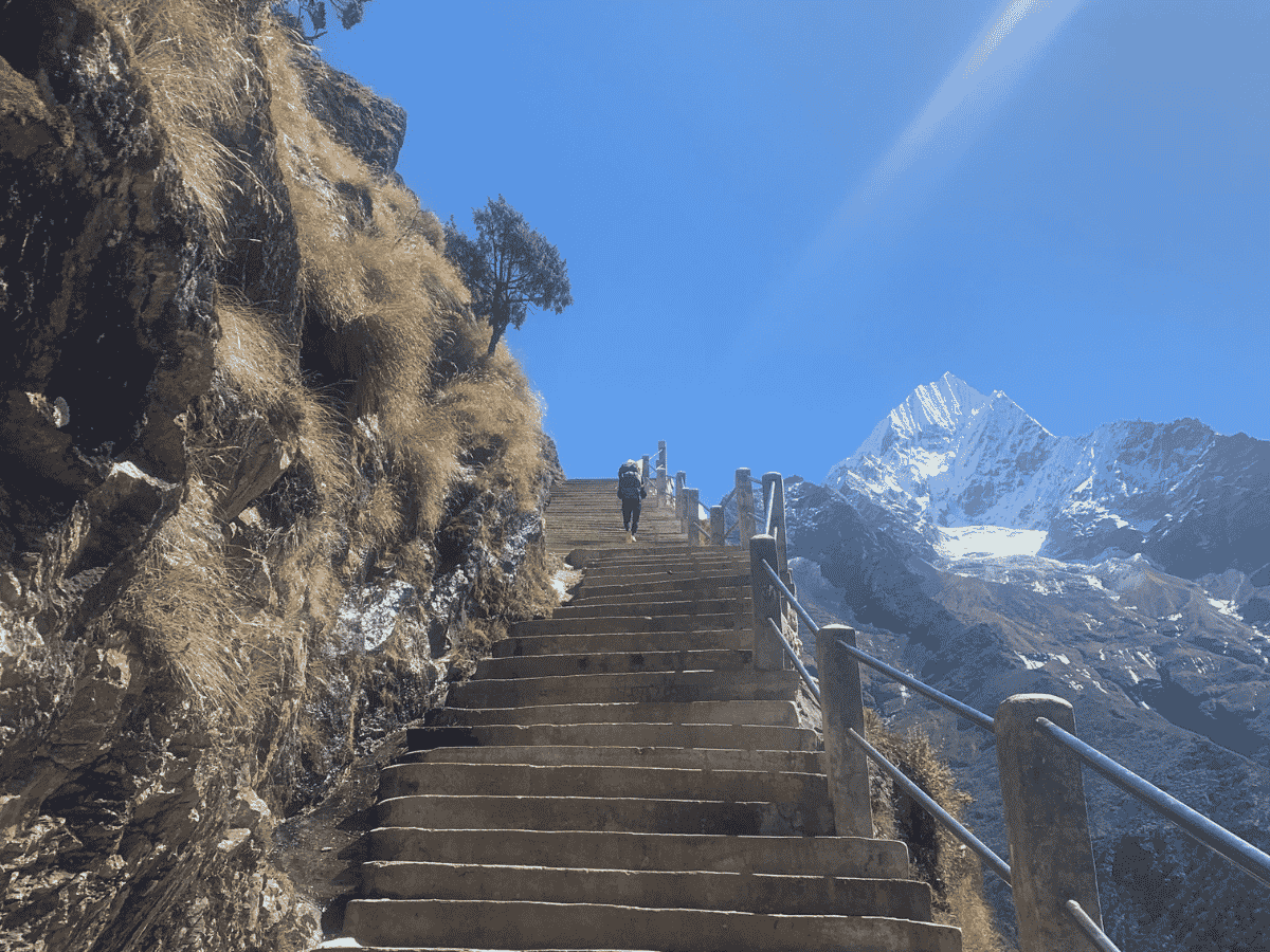
Day 4 from Namche Bazaar to Dole moves takes us from bustling Sherpa market town into quieter high‑valley terrain over roughly 10–12 km and 7–8 hours, with a net altitude gain of about 600–700 m. The trail starts from Namche, then follows a climb towards Kyangjuma, which is a great tea‑stop with bakery treats and the Mon La chorten, before we descend briefly to Phortse Tenga where many groups stop for a midday lunch. After having lunch, the path climbs through rhododendron and pine forests and opens onto alpine meadows offering sweeping views of Ama Dablam, Thamserku and Cho Oyu with beautifull waters on your left. Expect rocky steps and occasional steep sections, so walk slowly.
Complete Trail Conditions:
Section A: Namche Bazaar to Kyanjuma:Our trek starts with Namche Bazaar from where we climb stone steps to the upper parts of the town. After the last step of Namche Bazaar the trail becomes much easier. From here we follow a relatively easy trail with a few ascents and descents. This is the easiest and most beautiful part of today's trek. Along the way we cross beautiful pine and rhododendron forests aslo we will able to see Mount everest, Lhotse,Nuptse , Amadablam. Eventually, we will reach Kyangjuma, a perfect spot for a tea stop with amazing views of Mount Ama Dablam, Mt. Lhotse and Mt.Tabuche and even Tengboche area far away in distance.
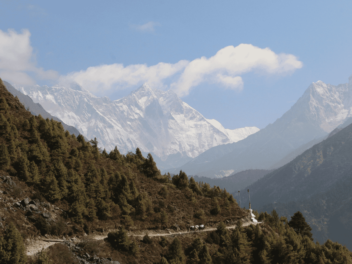
Section B: Kyangjuma to Mong La Danda:Upon leaving Kyangjuma, we will start today's trekking journey with a gentle downhill section. From here, we will leave the classic Everest Base Camp trekking trail and join the route towards the Gokyo Valley. The trail immediately becomes steeper, with an uphill climb which takes approximately 30 minutes. After climbing this steeper part, the trail gradually climbs along a natural mountain path toward Mong La Danda. The journey to reach Mong La Danda is very scenic, with jaw dropping mountain views of Mount Ama Dablam mountain which dominates the entire landscape. We will take lunch and short break at Mong La Danda while enjoying the an awe-inspiring views of Ama Dablam, Mount Everest, Lhotse, and many other Himalayan peaks.
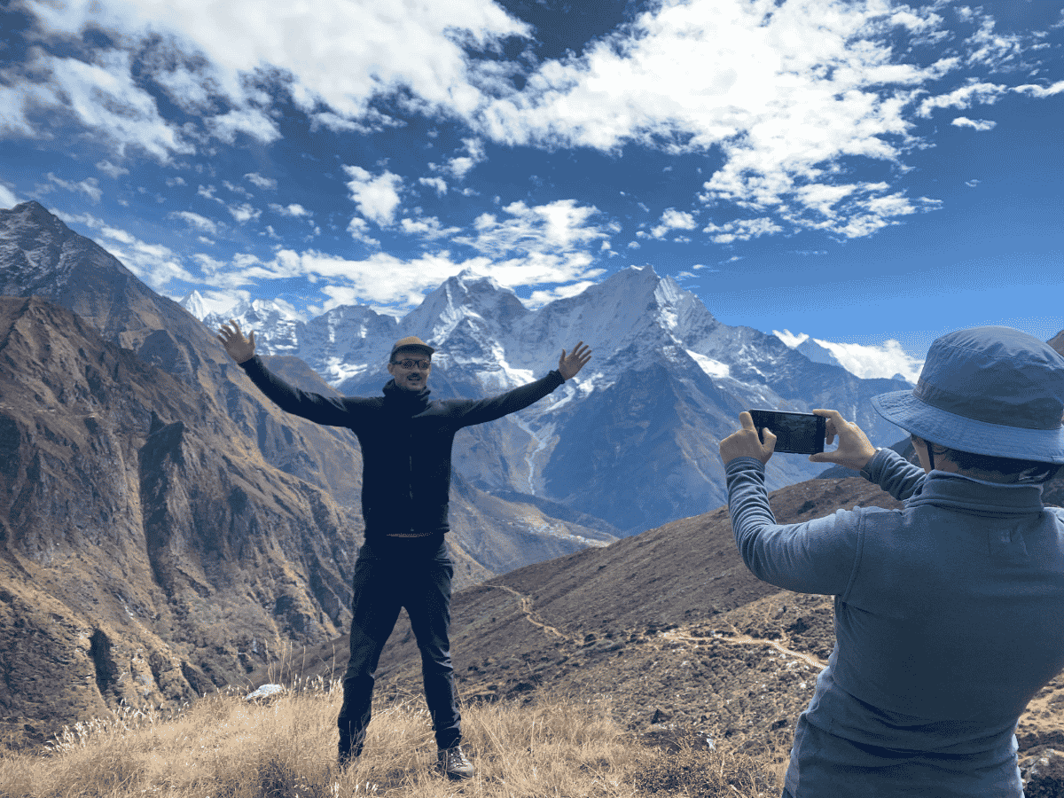
Section C: Mongla Danda to Dole:After having lunch, we will descend sharply to reach the Phortse Tenga village through a beautiful forested landscape. This trekking trail is really scenic, with the trail passing through areas of lush rhododendron forests, and other unique Himalayan vegetation. After reaching Phortse Tenga (3,680 meters), we will start climbing towards Dole. This part of trail consists of a mixture of uphill sections and more gradual, gentle climbs. As we approach Dole, we pass another checkpoint. From near this checkpoint, we can also enjoy a closer view of Cho Oyu, one of the world's highest mountains. Finally, after trekking for a while we arrive at Dole. Dole is a peaceful mountain settlement which is surrounded by beautiful Himalayan landscapes.
Day 5: Dole to Maccharmo(7KM,4-5 H,4470m)
Upon leaving Dole after breakfast in morning, the Gokyo Ri trek route ascends beside the Dudh Koshi River through open yak pastures and small seasonal settlements such as Lhapharma. From here, the landscape starts to become more barren and rockier as junipers replace forest. Beyond Luza, the trail crosses sandy ridges and barren hillsides, before descending slightly toward the river and climbing up to Machhermo. Throughout the day we will gain roughly 400 m altitude, with Machhermo sitting near 4,470 m. Upon reaching, trekkers are rewarded with expansive views of Cho Oyu, Kantega, Tabuche, and Thamserku, making this an important acclimatization stop before climbing to Gokyo.
The trekking difficulty is generally moderate, with a combination of different gradual uphill sections, a few steeper climbs, and occasional short downhill stretches. The increasing altitude can really make the walk more challenging than the distance itself, so it is really important to maintain a slow and steady pace to protect yourself from altitude sickness problem.
Complete Trail Conditions:
Section A: Dole to Luza:Upon leaving Dole village, we begin with a gradual uphill climb along the well-defined mountain trail. The dense forest we experienced earlier at lower elevations is now replaced by more open landscapes, which actually gives us the wider and more clear views of the surrounding mountains. First the section continues with the mixture of gradual ascents and a few steeper uphill sections. After a while there are occasional short downhill sections which provide a brief break and relaxation from the continuous climb. As we approach towards Luza, the valley begins to open up, and the views really become increasingly dramatic where surrounding landscape is dominated by rugged mountain slopes, alpine meadows, and impressive Himalayan peaks.
Section B: Luza to Machhermo: Luza, we will continue with a steady and gradual uphill climb towards Machhermo. This section is generally comfortable, but still there are sections with a few steeper and rocky sections where we need to walk slowly and carefully. As we hike, the Everest Gokyo trek route follows the western side of the Dudh Koshi Valley, with the river and valley landscape visible below in different places. When we look around, we also can enjoy an impressive view of the surrounding Himalayan peaks, while the landscape ahead gradually leads us to the deeper high-altitude of Gokyo Valley region. And then, we will continue walking through the mixture of gentle uphill trails, short steep climbs, and occasional downhill sections to reach Machhermo.
Day 6: Maccharmo to Gokyo(8KM,5-6 Hours,4790m)
Today’s Gokyo Lake Trek itinerary is a spectacular high-altitude day, usually 4–5 hours of walking with a steady but manageable climb. After breakfast you gain a ridge marked by a chorten, opening up wide views of the valley and surrounding peaks, then continue toward Pangka (around 4,480 m), a common lunch or tea stop. From here the trail climbs a steep moraine beside the Ngozumpa Glacier, passing Longpongo Lake (4,690 m), where we can witness old lama’s footprints in stone. The route then threads past the second lake and finally the third turquoise lake beside Gokyo Village, with an impressive view of Cho Oyu as we arrive.
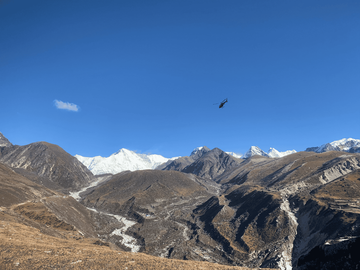
Note: Gokyo’s basic teahouses provide simple rooms and meals, and because of the altitude, it’s important to walk slowly, stay hydrated, and watch for any signs of AMS.
Complete Trail Condition
Section A: Ascent to the Ngozumpa Glacier:Today is one of the most beautiful days in our Gokyo Valley trekking journey. We leave Machhermo and gradually enter into the high-altitude landscape of the upper Gokyo Valley. At the first section, the trail from Machhermo to Phangkha is mostly a gradual uphill on a natural, rocky path. From Phangkha, the route gradually descends toward the river before we again climb towards the Ngozumpa Glacier. This climb toward the glacier is one of the more challenging sections of the day where the trail becomes rocky, uneven, and sometimes loose, so we need to walk very carefully here. After crossing a glacial stream, we will now enter into the spectacular upper Gokyo Valley.
Section B: Lakes and Gokyo Village Approach:This part of path leads us to Longpongo Tsho (first major lake), then continues to Taboche Tsho (second lake). The trail passes through rugged glacial terrain toward Dudh Pokhari (third lake) beside Gokyo Village. The final section follows the lakeshore on uneven, rocky ground into Gokyo Village, a high-altitude settlement which is adjacent to the Ngozumpa Glacier. Overall difficulty is moderate to challenging mainly due to altitude and rocky, glaciated trail surfaces.
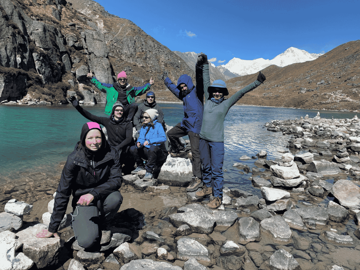
Day 7: Acclimatization Day, Hike to Gokyo Ri, fifth lake and Explore Gokyo Valley(14 Walk in total , 7-9 H,5360m)
Gokyo Lake Trek route map is a full acclimatization and exploration day in the Gokyo Valley, starting with an early, slow but steep climb up Gokyo Ri where we will gain altitude of around 600m with maximum altitude point reaching at Gokyo RI (5,357 m). The ascent is demanding but non-technical, and rewards you with sweeping views of Everest, Lhotse, Makalu, Cho Oyu, Gyachung Kang, and all six turquoise Gokyo Lakes shimmering below. After descending back to Gokyo we will have lunch and afternoon continues along the rough and uneven moraine of the Ngozumpa Glacier trail towards the fifth lake. After spending some time here, we will return to Gokyo village to spend night.
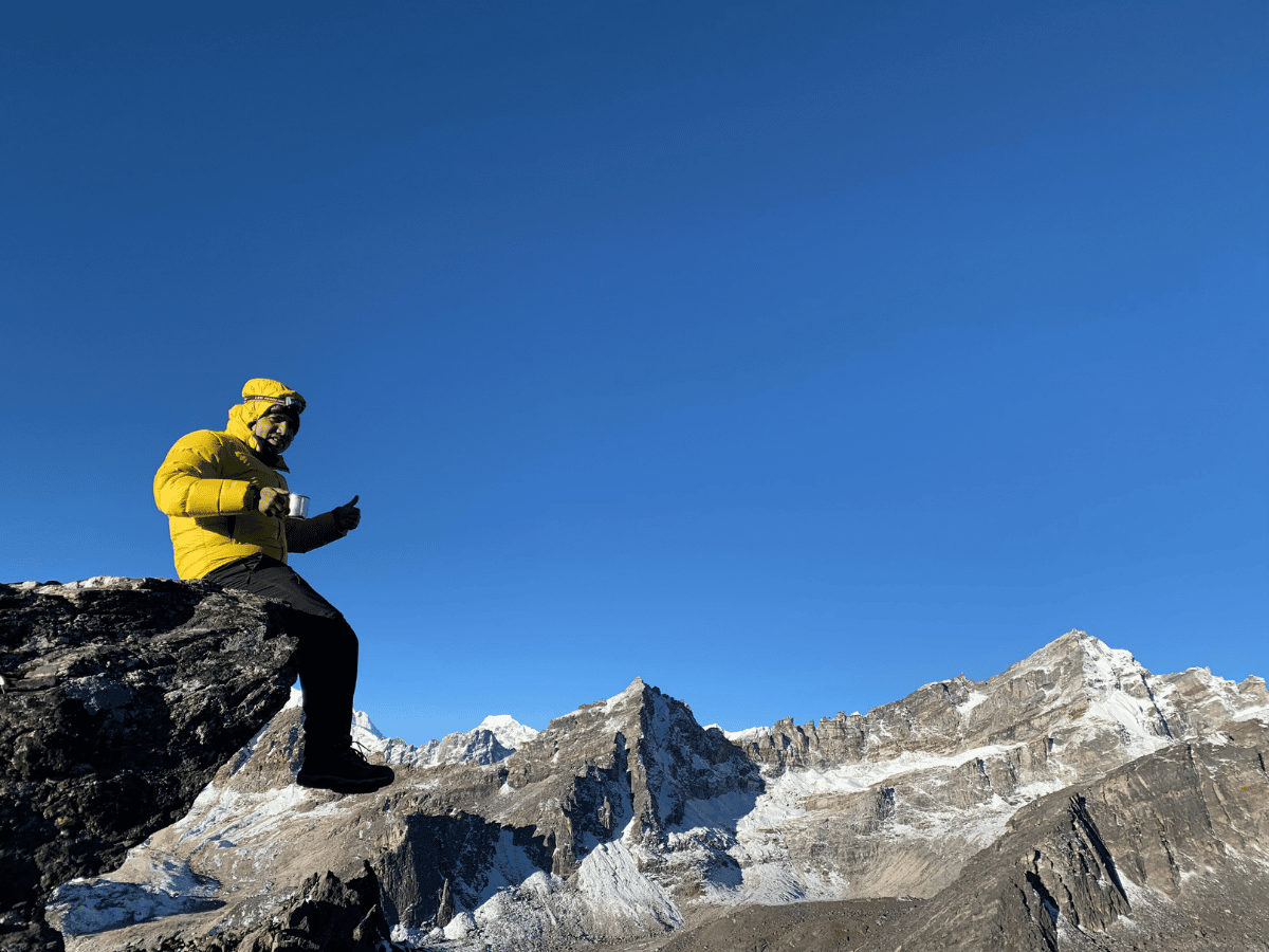
Complete Trail Condition
Section A: Ascent to Gokyo Ri :We will start at dawn from Gokyo Village onto a steep, and loose rocks trail. The initial climb uses a mix of uphill and downhill section and several exposed steep sections where footing can be unstable. So trekking poles and a slow, steady pace is important as it really helps to maintain balance. As we gain elevation, the path narrows and winds over hard-packed, wind-swept ground with occasional loose stones that can shift underfoot. Expect stronger winds and thinner air near the top, which makes each step more strenuous. The descent retraces the same unstable ground, which requires controlled and careful footing to avoid slipping on steeper sections.
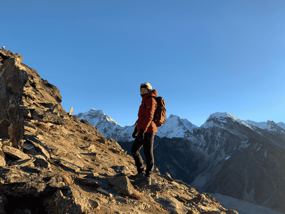
Section B: Gokyo Ri to Gokyo have Breakfast than explore around Fifth lake :From the village, the trail moves onto the Ngozumpa lateral moraine and follows an uneven, rocky line beside glacial debris. The ground changes between moraine ridges, loose gravel, and patches of wet, muddy ground where meltwater crosses the trail. we will encounter mix of uphill climbs and gentle descents, plus narrow sections near the lake shores that require careful footing. As we reach close to the Fifth Lake, the route becomes closer with glacier and minor stream crossings which requires steady footing and careful attention to the trail.
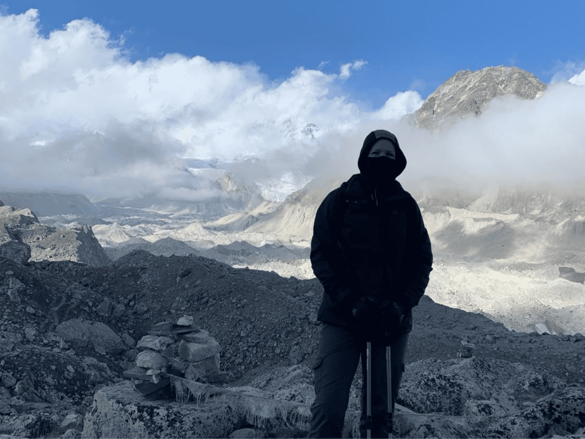
Section C: Return to Gokyo Village :The return to the main valley is mostly downhill along the same moraine route with rocky, uneven and occasional steeper descent sections which require careful walking. As we approach towards the Gokyo village, the trail eases into lakeside paths of mixed gravel, stones and small steps between tea houses. Overall, the day's trail is considered moderate to challenging because of loose rocks, uneven moraine, and high altitude.
Note: Because it’s a big altitude day with significant climbs and descents, it’s important to walk slowly, stay hydrated, and turn back if any symptoms of AMS appear.
Day 8: Trek from Gokyo Lake to Dole(12KM,6-7 Hours,4038m)
Day 8 of Everest Gokyo trek route is from Gokyo Lake back to Dole. This day is long but mostly downhill day, usually taking around 5–7 hours and covering roughly 14–15 km as we retrace the Gokyo Lake Trek trail. We descend from the third lake through different Gokyo’s cluster of lodges, then follow the rocky path passing Pangka and along the valley side, with constant views of Cho Oyu, Kantega, and Thamserku and the glacier terrain fading behind us. This part of Gokyo valley trekking route trail is a mix of stone steps, dusty sections, and gentle descents through yak pastures while passing small settlements before reaching Dole.
Complete Trail Condition
Day 8 of the Gokyo Lakes Trek is a 5 to 6-hour downhill walk covering about 14 to 15 kilometers from Gokyo Lake (4,790 meters / 15,718 feet) down to Dole (4,038 meters / 13,248 feet).
Section A: Gokyo Village to Machhermo:We will leave Gokyo village and walk along the lakeshore on uneven, rocky ground away from Dudh Pokhari. The trail goes through rough glacial terrain past Dudh Pokhari, then by different lakes we visited earlier. The surface is a mix of gravel, stones and small steps between teahouses. Also, some shoreline spots may be soft or slippery where streams enter the lakes. This returning day trekking is moderate to hard because of the high altitude and rocky, glacier-side trail as we head toward Machhermo.
Section B: Machhermo to Luza:From Machhermo, we will follow a mostly downhill route with a few steeper and rockier paths. The trail runs along the western side of the Dudh Koshi Valley, with the river and valley visible below in places. The ground changes to alpine meadows and rugged slopes as you descend toward Luza. Here, we can expect a mix of gentle downhill sections, short steep drops, and occasional short uphill walks before we reach Luza.
Section C: Luza to Dole :We will leave Luza on a good mountain trail that mostly goes downhill toward Dole, with some short uphill sections and a few steeper climb. The open landscape here replaces the denser forest areas, and the valley becomes narrower as we get closer to Dole. The trail is generally moderate in difficulty, because of the height and tired legs, so keep a slow, steady pace to avoid altitude-related problems. We will end the day with the final gentle descent into Dole village.
Day 9: Dole to Namche Bazaar(10-12km,6-7H,3440m)
This day of Gokyo Lake Trek trail is mostly downhill return to Khumbu region hub, Namche Bazaar. Today’s trek takes about 7-8 hours and covers 11-12 km with an overall descent of around 600 m from high alpine meadows back into forested valley. This section of Gokyo valley trekking route trail drops gently at first through yak pastures and small settlements before a steeper section to Phortse Tenga. Phortse Tenga is a common lunch and tea break spot by the river. From here, we climb back up through lush rhododendron and pine forests passing Kyangjuma village, with constant views of Ama Dablam and Thamserku, before finally descending into bustling Namche Bazaar.
Complete Trail Condition
Section A: Dole to Mong La Danda:As we leave Dole on a trail, we will take the first climb steadily from the village. After this climb we will pass a checkpoint area and then drop down toward Phortse Tenga. The descent can be steeper in some places but goes through lush rhododendron and mixed forest. After reaching the valley floor at Phortse Tenga, we will begin the uphill climb to Mong La Danda. The final approach to Mong La Danda is a steady climb on a good mountain path with occasional rocky stones.
Section B: Mong La Danda to Kyangjuma:We will leave Mong La Danda after our break and start with a steady downhill along the clear mountain path. The trail eases into a gentle descent at first, then has a short steeper drop that takes about 30 minutes to pass. After that steeper section we complete the route contains mix of uphill and downhill section and follows a natural mountain track with mostly gentle slopes and a few short uphill patches. The ground can be rocky and uneven in places, so watch your footing.
Section C: Kyangjuma to Namche Bazaar:We start from Kyangjuma and follow the mostly easy trail with a few short ascents and descents only. The path passes through pine and rhododendron forests, offering regular clearings and teahouses along the way. As you approach Namche Bazaar the route becomes vibrant and you encounter stone steps leading up into the upper parts of town. This is one of the most scenic and enjoyable sections of the day, offering final views of Mount Ama Dablam, Mount Everest, Lhotse, and the distant Tengboche area. As we approach Namche Bazaar, the trail descends gradually before a short climb up the familiar stone steps leading us into the heart of the town.
Day 10: Namche Bazaar to Lukla(18km,8-9KM,2860m)
Today is the last trekking day on Gokyo Lake Trek journey. It takes about 8-9 hours with mostly downhill hiking over about 18–19 km distance. As we trek, air starts to feel warmer and richer in oxygen. This return Gokyo Ri trek route retraces the steps along the Dudh Koshi River, passing through Jorsalle, Monjo, Benkar and Phakding with familiar suspension bridges, mani walls, and forested riverbanks which now seen from new perspective. Lunch or short tea break is commonly taken in Phakding. After reaching Lukla, Gokyo lake Trekking route ends but celebration begins.
Complete Trail Details
Section A: Namche Bazaar to Top Danda: From Namche Bazaar, we will leave the lively town behind and follow the well-paved stone steps out of the settlement towards the Top Danda. After passing the checkpoint near Namche Bazaar, our trekking trail becomes a more comfortable with natural mountain path with a gradual downhill descent through the hillside. As we continue ahead, the route opens up with the peaceful surroundings and beautiful mountain scenery giving relaxing atmosphere for travelers. Finally, after a steady and rewarding walk, we will arrive at Top Danda, which is a scenic viewpoint that offers impressive views over the Everest region.
Section B: Top Danda to Hillary Bridge:Begin at Top Danda and start a steady downhill along the natural mountain trail. After about 10–15 minutes of descent you drop down to the viewpoint area where trekkers normally stop to take in the first views of Mount Everest. From the viewpoint the path continues descending toward the Hillary Bridge section. As you approach, you will see two suspension bridges from above, the true Hillary Bridge is the lower one. Continue down the slope and cross the upper Hillary Bridge first, then follow the trail as it drops toward the lower Hillary (the main bridge).
Section C: Jorsalle to Monjo:After crossing the first suspension bridge we will enter into Jorsalle area. From the bridge the trail climbs gently at first, then becomes a short, steeper ascent up stone steps toward the next bridge. After crossing this second suspension bridge we will follow an easy, relatively flat trail that runs close to the Dudh Koshi River. From here, after a short steady climb of about 5-10 minutes we will reach the Sagarmatha National Park checkpoint at the top of Monjo. Here, we will complete permit checks at the gate, then walk towards the final short level section into Monjo village.
Section D: Monjo to Benkar : By leaving Monjo village, we will descend the series of stone steps from the top of village down through the short flat section. After a brief level walk, we will reach to the starting point of a steep downhill taking about 10-15 minutes. From here, we descend carefully on loose stones and packed steps. After the steep drop, we will cross a small bridge and then begin a short, sharp climb up to Chumoa. From Chumoa the trail follows well-paved stone steps that gradually descend toward the long suspension bridge. After crossing this long suspension bridge, then we will continue on the easy, mixed-gradient trail until we arrive back at Benkar.
Section E: Benkar to Phakding:Upon leaving Benkar we will follow the trail that first goes as an easy mix of gentle descents and short ascents. Along the way we will also pass through several waterfalls while walking through lush rhododendron forest sections. The path remains mostly gentle and well-defined, with occasional short ups and downs. We will continue until we reach a suspension bridge, and then cross it to enter the lower trail toward Phakding.
Section F: Phakding to Lukla:Leave Phakding (2,610 m) and begin with a short gentle uphill section on stone steps before the trail evens out into mostly flat riverside walking. Pass through Mane and Ghat villages along mostly flat paths with occasional gentle ascents and gradual descents. After Thado Koshi, the trail has a short uphill pitch just before where we will take lunch. From here we will continue passing the river valley and cross a suspension bridge toward Cheplung. From Cheplung the route climbs through rhododendron and pine forests on a well-laid stone staircase, passing mani walls and small Sherpa settlements. Near the top we will reach the Lukla checkpoint, then continue the final ascent into Lukla (2,860 m).
Day 11: Lukla to Kathmandu Flight(30-35 Min Flight,Scenic flight)
Today is the last day of our Gokyo Lake Trek Package where we will return to city life, with a short but really beautiful flight from Lukla back to Kathmandu city. The aircraft covers roughly 130–140 km in about 30–35 minutes, by lifting off from the sloped mountain airstrip and quickly opening up the sweeping views of the Khumbu hills, deep river valleys, and distant Himalayan peaks which fades behind us. As we fly south, the rugged highlands give way to terraced fields and scattered villages before the Kathmandu Valley appears below. It’s a transition from crisp mountain air to the buzz of the city in under an hour, marking the true end of our Gokyo Lake Trek journey.
Difficulty Level of Gokyo Lake Trek Trail
The Gokyo Lake Trekking route is generally graded as moderate to challenging, mainly because of altitude rather than technical difficulty on the trail itself. Most days involve 5–7 hours of walking on well‑defined mountain paths, with a mix of gradual ascents, stone steps, and a few steep sections, especially on the climbs to Namche, Machhermo, Gokyo, and Gokyo Ri. Trekkers spend many days above 3,500 m and sleep near or above 4,700 m, with a high point around 5,350 m on Gokyo Ri, making acclimatization and a slow pace really essential to reduce the risk of AMS. With good fitness, prior hiking experience, and proper acclimatization days in Namche and Gokyo, most determined trekkers can complete the Gokyo Ri trek route safely and enjoyably.
How Gokyo Lake Trekking Route differs from Everest Base Camp Route?
Gokyo valley trekking route differs from the classic Everest Base Camp route mainly in three ways i.e atmosphere, scenery, and also crowd levels. While both share the same trekking path up to Namche, the Gokyo trail then branches off toward Dole and Machhermo, which follows quieter valleys, yak pastures, and the Ngozumpa Glacier instead of the busy Khumbu valley to Tengboche and Dingboche. Instead of ending at Everest Base Camp and Kala Patthar, the Gokyo route mainly focuses on turquoise glacial lakes and the panoramic viewpoints of Gokyo Ri, with broader vistas of four 8,000-meter peaks but fewer close-up views of Everest itself. Overall, it really feels more serene and less commercial, with slightly fewer trekkers and teahouses comparision to Everest Base Camp.
Gokyo Lake Trail Conditions by Season: How the Route Changes
| Details | Gokyo Valley Trekking Route |
| Spring (March–May) | The Gokyo valley trekking route is at its best: dry trails, stable weather, clear mountain views, and blooming rhododendrons in the lower sections. |
| Autumn (September–November) | One of the best trekking windows, with dry trails, crisp air, and excellent visibility across the whole Gokyo Valley. |
| Monsoon (June–August) | The route becomes wetter, cloudier, and more slippery, especially in forested lower sections and on stone steps. |
| Winter (December–February) | Cold, quiet, and sometimes snowy, especially above Machhermo and in the Gokyo lake area. |
| Best Season Overall | Spring and autumn offer the best balance of safety, scenery, and trail comfort for Gokyo lake Trekking route. |
At the end
Gokyo Lake Trekking Route is the rewarding Himalayan journey which takes you through changing landscapes, traditional Sherpa villages, high mountain trails, and beautiful glacial lakes. From the lower valleys to the upper Gokyo valley region, each section during this trek really offers a different walking experience, from forest paths and suspension bridges to rocky glacier-side trails and high-altitude settlements.
The route is challenging in different parts, but with the help from an experienced guides and the reliable services from Mount Face Nepal, your journey becomes much easier, enjoyable and safer. We Mount Face Nepal help you to manage the route, handle the altitude while moving at the right pace, so you can fully enjoy the trek with more comfort and confidence. Take your time, walk carefully, and let the beauty of the Gokyo region unfold step by step.